

測量現場での野帳の使い方
How to use Yacho for taking on-site measurements
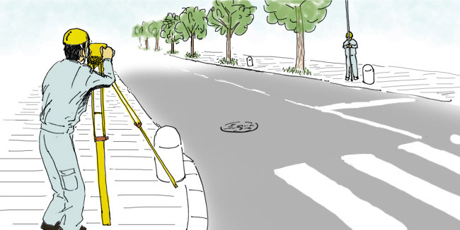
測量シーンLEVEL
Scene with Surveying: LEVEL
水準儀を用いた測量(レベルを出す測量)例
Example of surveying with a leveling instrument (leveling survey)
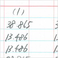
レベルブックのレベルとは、水準測量という高さを求める測量で使用される機器に由来します。
レベルを求める作業は工事現場でもよくあることです。レベルや距離を野帳に記入し計算します。
また、記入の仕方は人によっても違い、先輩から後輩へと事業所の中で引き継がれます。
レベルを求める作業は工事現場でもよくあることです。レベルや距離を野帳に記入し計算します。
また、記入の仕方は人によっても違い、先輩から後輩へと事業所の中で引き継がれます。
The name ‘LEVEL BOOK’ comes from the surveying technique, Leveling, to measure the height of specified points. Engineers do a lot of leveling work on construction fields, writing down the measured
levels and distance on the Yacho for calculations. Yacho is flexible for different ways of taking memos by different engineers.
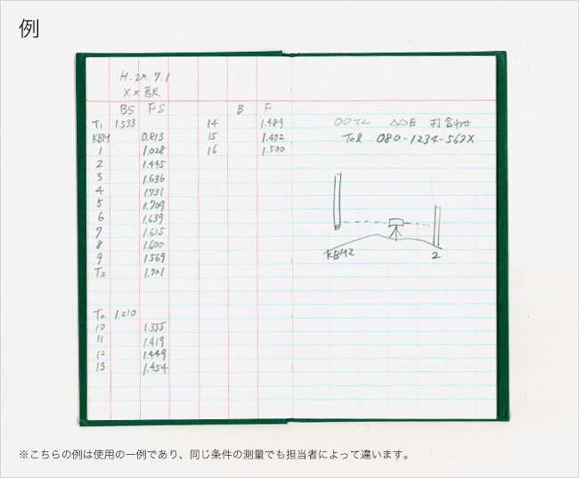
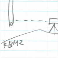
-
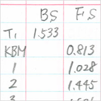
測定した高さ(レベル)を記入していく
Entering a level that’s just measured
-
右側はメモなどに使う
The right-hand page is for a note (memorandum space)
測量シーンTRANSIT
Scene with Surveying: TRANSIT
トランシットを用いた測量例
Example: Surveying with Transit
トランシットブックのトランシット とは角度を計測する測量機器の呼び名に由来します。
地図や土地の面積などを求める際に必要となる距離や角度の測定データを記入します。
トランシットの内容をレベルブックに記入する場合もあります。
地図や土地の面積などを求める際に必要となる距離や角度の測定データを記入します。
トランシットの内容をレベルブックに記入する場合もあります。
‘TRANSIT’ is a surveying instrument for measuring horizontal and vertical angles. This notebook is for recording the surveying data such as distances and angles that are necessary for area calculations.
Also, some people enter the detail of their transit to a LEVEL BOOK.
-
距離を記入
Entering a distance
-
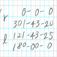
測定した角度を記入
Entering an angle just measured


